Call Number: G70.4 R389 2021
Located: MainLB, New Acquisition(2nd Fl)
http://opac.nu.ac.th/vufind/Record/1027823
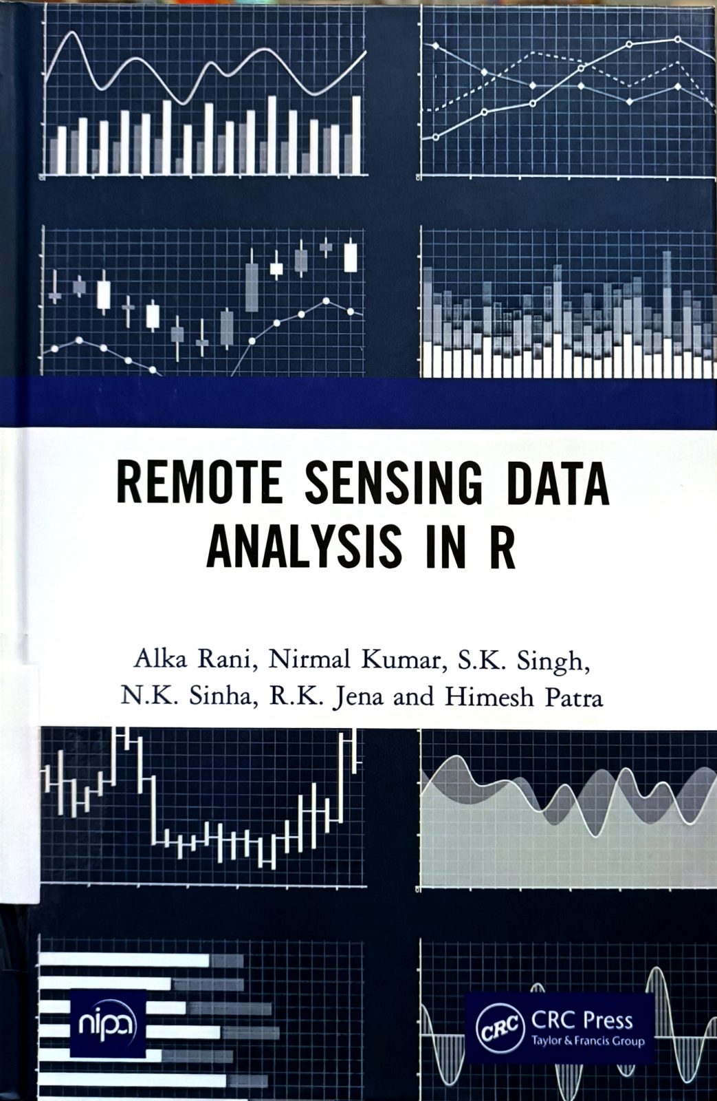
Remote Sensing Data Analysis in R is a guide book containing codes for most of the operations which are being performed for analysing any satellite data for deriving meaningful information. The goal of this book is to provide hands on experience in performing all the activities from the loading of raster and vector data, mapping or visualisation of data, pre-processing, calculation of indices, classification and advanced machine learning algorithms on remote sensing data in R. The reader will be able to acquire skills to carry out most of the operations of raster data analysis – more flexibly – in open-source freely available software i.e. R which are generally available in the paid digital image processing software.
Table of Contents
1. Download and Installation of R 2. Data availability and downloading 3. Raster data in R
4. Radiometric Calibration 5. Vector data in R 6. Coordinate Reference Systems (CRS) in R
7. Subset Raster 8. Vector Data Analysis 9. Mosaic Raster Images 10. Resampling of Raster Images 11. Raster data statistics 12. Image Contrast Enhancement 13. Spatial Filters 14. Transformations 15. Unsupervised Classification 16. Supervised Classification 17. Digital terrain analysis 18. Thematic mapping

